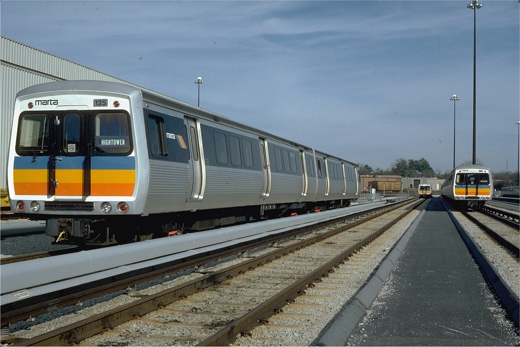
El Metro de Atlanta, más conocido como MARTA (Metropolitan Atlanta Rapid Transit Authority; en español: Autoridad Metropolitana de Tránsito Rápido de Atlanta), es un transporte importante para la Ciudad de Atlanta, Georgia, Estados Unidos. Cuenta con cuatro líneas, una naranja, una azul, una roja y una verde.[2]
Línea Dorada
La línea cuenta con 18 estaciones, las cuales son:[3]
- Airport
- College Park
- East Point
- Lakewood/Ft.McPherson
- Oakland City
- West End
- Garnett
- Five Points
- Peachtree Center
- Civic Center
- North Avenue
- Midtown
- Arts Center
- Lindbergh Center
- Lenox
- Brookhaven/Oglethorpe
- Chamblee
- Doraville
Línea Roja
La línea cuenta con 19 estaciones, las cuales son:[4]
- Airport
- College Park
- East Point
- Lakewood/Ft.McPherson
- Oakland City
- West End
- Garnett
- Five Points
- Peachtree Center
- Civic Center
- North Avenue
- Midtown
- Arts Center
- Lindbergh Center
- Buckhead
- Medical Center
- Dunwoody
- Sandy Springs
- North Springs
Línea Azul
La línea cuenta con 15 estaciones, las cuales son:[5]
- Indian Creek
- Kensington
- Avondale
- Decatur
- East Lake
- Edgewood/Candler Park
- Inman Park/Reynoldstown
- King Memorial
- Georgia State
- Five Points
- Dome/GWCC/Philips Arena/CNN Center
- Vine City
- Ashby
- West Lake
- Hamiltong E.Holmes
Línea Verde
La línea cuenta con 9 estaciones, las cuales son:[6]
- Edgewood/Candler Park
- Inman Park/Reynoldstown
- King Memorial
- Georgia State
- Five Points
- Dome/GWCC/Philips Arena/CNN Center
- Vine City
- Ashby
- Bankhead
Referencias